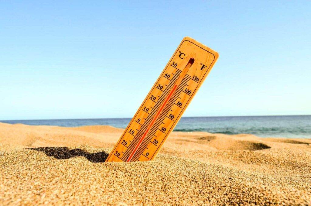
The Thai Meteorological Department (TMD) forecasts that summer 2026, which will begin at the end of the month, will be hotter than the previous year.
- Summer 2026 in Thailand is expected to be hotter than normal, according to the TMD.
- Heat peaks of up to 42–43 °C are possible between April and May.
- Precipitation could be 30 to 40% lower than usual.
- The provinces of Mae Hong Son, Lampang and Tak are the most exposed.
After the floods of the rainy season, the cold waves of winter, we are soon entering the hot season and its heatwaves.
The summer season is expected to start later than usual, around late February 2026 (about two weeks later than normal), and will last until mid-May 2026.
The weather will alternate between scorching heat and storms, with some regions experiencing extremely high temperatures.
This phenomenon is expected to occur mainly between April and May 2026.
The average maximum temperature in northern Thailand is expected to reach 36-37 °C, slightly higher than the usual average of 35.4 °C and a slight increase compared to the previous year (the average maximum temperature in 2025 was 35.8 °C).
Overall, rainfall is expected to be 30-40% lower than normal levels.
The provinces expected to experience temperatures above 42 °C are as follows:
- Mae Hong Son
- Lampang
- Tak
General weather forecast for summer 2026

Blazing sun in the Thai sky.
From March to mid-April
Hot temperatures will gradually rise, with heatwave conditions in many regions during the day.
Fog will appear in several regions, while the north and northeast will still experience cool mornings due to the influence of high-pressure systems from China.
However, between the end of March and mid-April, these pressures will weaken and low-pressure systems caused by heat will dominate, leading to periods of hot and humid weather, with temperatures reaching 42 to 43 °C in some regions.
Summer storms are also expected in these regions, with thunder, gusty winds, and even hail in some areas, bringing temporary relief from the heat.
Late April to mid-May
As the season changes, hot conditions will continue, with occasional relief in the form of showers.
At this time, southeast winds bringing moisture from the Gulf of Thailand will change direction, marking the beginning of the southwest monsoon.
This change will bring more rainfall, especially in the southern provinces, which will experience heavy rain and stronger winds.
From March to the end of April, easterly and southeasterly winds will cover the Gulf of Thailand and the southern regions, leading to a 20 to 30% chance of thunderstorms.
The waters of the Gulf of Thailand and the Andaman Sea will experience waves reaching up to 1 meter high.
South Thailand
From mid-April to mid-May, rainfall will increase significantly, with some areas experiencing intense showers, particularly along the southwestern coast, where rainfall could cover 60 to 80% of the area.
The Andaman Sea will experience stronger winds and waves reaching 2 to 3 meters, while the Gulf of Thailand will see waves reaching 1 to 2 meters as the southwest monsoon sets in.
See also:
Thailand: a new cold front will cause temperatures to drop
Weather in Thailand: Climate, Seasons and forecasts for 7 days
Source: The Nation Thailand
Do you like Toutelathailande.fr?
👉 Leave us a review on Trustpilot.
Your review strengthens the credibility of our work and the trust of our readers.
Useful links to prepare your trip to Thailand
Book bus, train and boat in Thailand
Manage your money while traveling with Wise
If our news, tourist information, or cultural content has been useful to you and you'd like to thank us:
You can follow us on:
Twitter, LinkedIn, Facebook,Google News
Or install our application: Install the application of All Thailand on your smartphone
